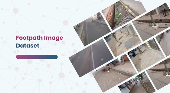
Dataset Features
- Dataset Size: 500+ images
- Contributors: Captured by over 100 crowdsource contributors
- Resolution: All images are in high definition (1920×1080 and above)
- Geographical Coverage: Over 200 cities across India, including both urban and rural areas
- Diverse Conditions: Images taken under various lighting conditions (day, night), from different distances and viewpoints
- Capture Devices: Images captured using mobile phones between 2022 and 2023
Potential Applications
This dataset is ideal for training and evaluating machine learning models in the context of autonomous vehicles and urban planning. Possible applications include:
- Footpath Detection: Accurate identification of footpaths for pedestrian use.
- Pedestrian Path Planning: Assisting autonomous vehicles in safely navigating areas with pedestrian traffic.
- Object Recognition: Differentiating between footpaths and other road objects such as debris, puddles, and obstacles.
- Urban Development: Helping city planners design better pedestrian pathways.
- Safety Analysis: Enhancing safety measures by analyzing footpath conditions and identifying potential hazards.
Additional Dataset Insights
- Annotation Quality: Each image is annotated with precise labels to aid in machine learning model training.
- Environmental Diversity: Images include footpaths in various environments such as residential areas, commercial zones, parks, and rural paths.
- Temporal Variability: Captures different times of the day and varying weather conditions to provide a robust training set.
- Technological Relevance: Essential for developing AI applications in smart city initiatives, autonomous driving systems, and public safety.